Alpe d'Huez, the quiet climb
Sport, Cycling sports, Cycle tourism route
in Le Bourg-d'Oisans
44.0
km
3h
Hard
-
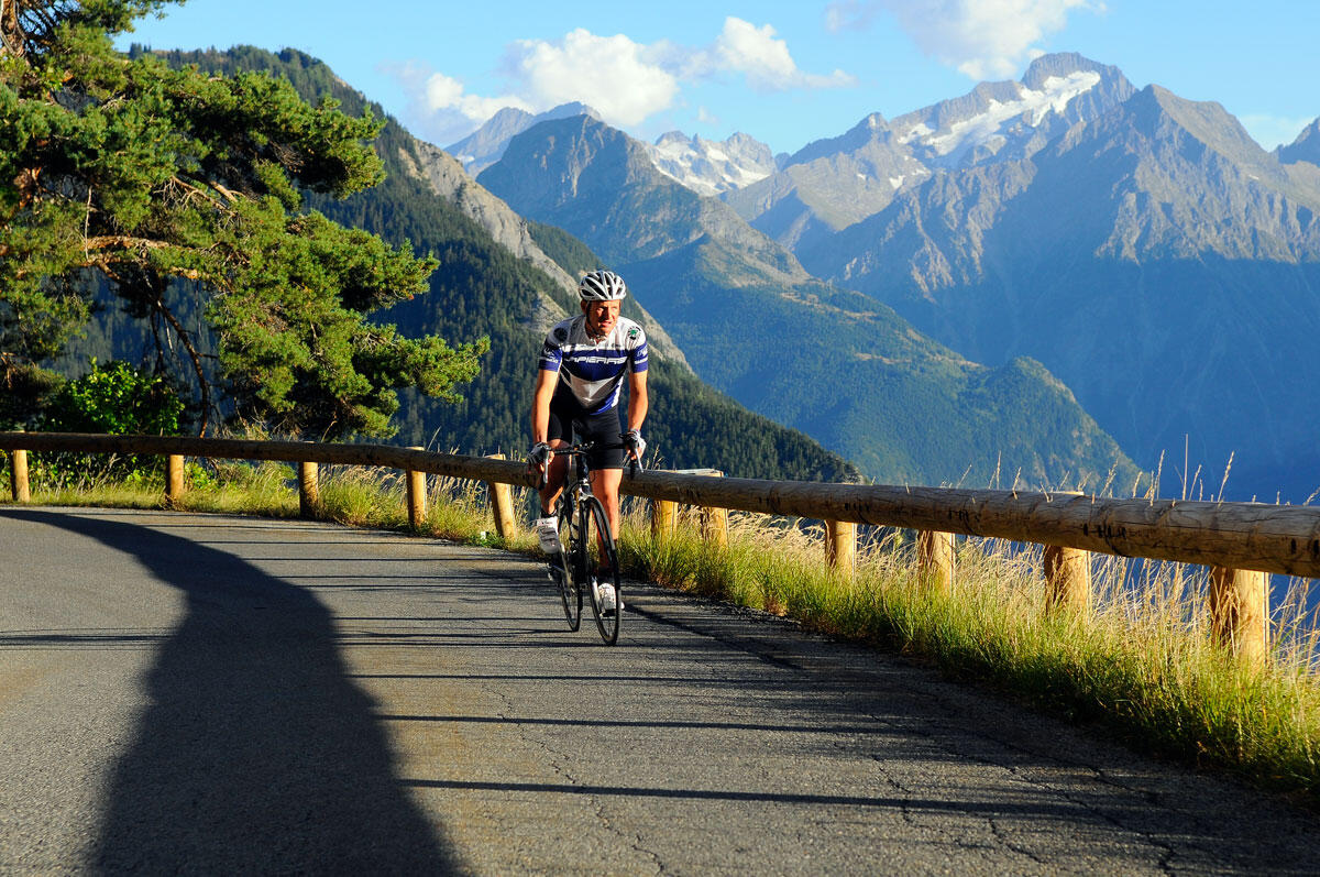
No particular difficulty for this itinerary which gently rises from the plains of Allemond and the Lake Verney. On the “Pas de la Confession” road between Villard Reculas and Huez, you will find a wonderful, panoramic view over the Bourg d'Oisans plains.
-
This route is available on the "Vélo en Oisans" map (Oisans Tourisme)
PRACTICAL INFORMATION
Start/Finish (loop): Bourg d'Oisans 720 m
Duration: 3 hours
Distance: 44 km
Maximum elevation: 1,850 m
Minimum elevation: 711 m
Elevation gain: 1,308 m
Maximum gradient: 8%
MAP AND ROUTE DESCRIPTION
Map: Michelin Isère and Savoie Department Map No. 333
ITINERARY
From Bourg d’Oisans, take the D1091 toward Grenoble.
At Rochetaillée, turn right onto the D526 toward Allemond.
After the “Pont Rouge,”...This route is available on the "Vélo en Oisans" map (Oisans Tourisme)
PRACTICAL INFORMATION
Start/Finish (loop): Bourg d'Oisans 720 m
Duration: 3 hours
Distance: 44 km
Maximum elevation: 1,850 m
Minimum elevation: 711 m
Elevation gain: 1,308 m
Maximum gradient: 8%
MAP AND ROUTE DESCRIPTION
Map: Michelin Isère and Savoie Department Map No. 333
ITINERARY
From Bourg d’Oisans, take the D1091 toward Grenoble.
At Rochetaillée, turn right onto the D526 toward Allemond.
After the “Pont Rouge,” turn right onto the D44 toward Villard Reculas.
The road climbs gently, passing through the hamlets of Le Raffour and La Beurrière at a steady pace all the way to Villard Reculas.
Drive through Villard Reculas. Continue to Huez via the narrow and spectacular “Pas de la Confession” road.
Drive through Huez until you reach the 21 hairpin turns of the famous Alpe d’Huez climb at turn 6.
Return via the descent from Alpe d’Huez to Bourg d’Oisans.
- Departure
- Le Bourg-d'Oisans
-
-
Plain text period
-
From 05/01 to 10/31 : open daily.
Depending on snow conditions.
-
-
-
Environment
-
-
-
Documentation
- GPX / KML files allow you to export the trail of your hike to your GPS (or other navigation tool)
-